ใน ep นี้เราจะมาเรียนรู้วิธีการใช้ประโยชน์จากแผนที่มากขึ้น การจัดการข้อมูล Geospatial Data หรือข้อมูลภูมิศาสตร์ ที่เรามักพบบ่อย คือ Geocode แปลงข้อมูลในงานของเราให้เป็นข้อมูลภูมิศาสตร์ และการ Join ข้อมูลภูมิศาสตร์หลาย ๆ รูปแบบเข้าด้วยกัน ทั้ง Table Join และ Spatial Join
Geocode คืออะไร

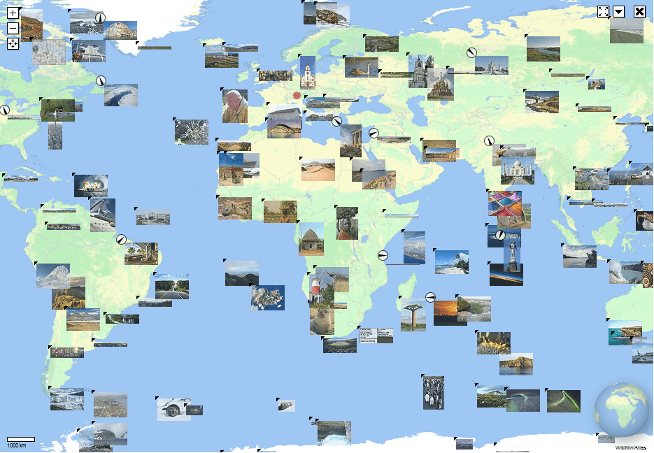
Geocode คือกระบวนการแปลงข้อความ ไม่ว่าจะเป็น ชื่อ หรือที่อยู่ ให้เป็น พิกัดภูมิศาสตร์บนพื้นผิวโลก เช่น Latitude, Longitude ที่เราสามารถใช้ในการวางจุด Marker ลงบนแผนที่
ตัวอย่างเช่น ถ้าเราเคยใช้ Google Maps ในการค้นหาสถานที่สำคัญแล้ว จากชื่อ หรือ คำค้นเกี่ยวกับสถานที่นั้น ๆ แสดงว่าเราเคยใช้ Geocode โดยแล้ว โดยที่เราไม่รู้ตัว
Reverse Geocode คือ การแปลงพิกัดภูมิศาสตร์ กลับเป็นข้อความระบุที่อยู่ที่ให้มนุษย์สามารถอ่านได้เข้าใจ
Spatial Join คืออะไร
Spatial Join คือ การรวมหลาย ๆ GeoDataFrame เข้าด้วยกัน ด้วยความสัมพันธ์ทางภูมิศาสตร์ Spatial Relationship ระหว่าง Object ใน geometry Column
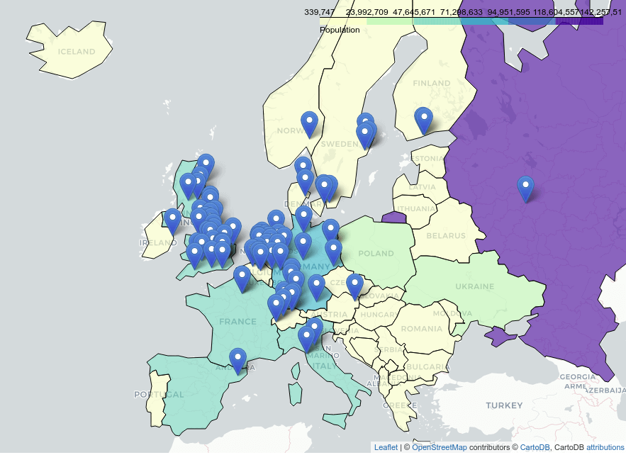
ตัวอย่างเช่น เรามี GeoDataFrame ของมหาวิทยาลัยชั้นนำในทวีปยุโรป ที่มีพิกัดภูมิศาสตร์ที่เรา Geocode มาจากชื่อที่อยู่ของมหาวิทยาลัยนั้น ๆ ถ้าจะ Join กันแบบปกติกับตารางประเทศ เราก็ต้องมี Column เช่น COUNTRY_ID เป็นต้น แต่ในเคสนี้เราสามารถใช้ Spatial Join พิกัดของมหาวิทยาลัย กับขอบเขตภูมิศาสตร์ของประเทศเหล่านั้นได้ ด้วย gpd.sjoin()
Spatial Join คือวิธีการนึงที่จะเพิ่มข้อมูลให้ GeoDataFrame หนึ่ง จากอีก GeoDataFrame หนึ่ง ในการใช้งานจริงเรามักจะต้องสร้าง Feature ใหม่ ๆ ที่มีความหมายที่เราต้องการขึ้นมาจากการรวมข้อมูล Feature ต้นฉบับที่เรามีใน Dataset
Spatial Join ต่างกับ Table Join อย่างไร
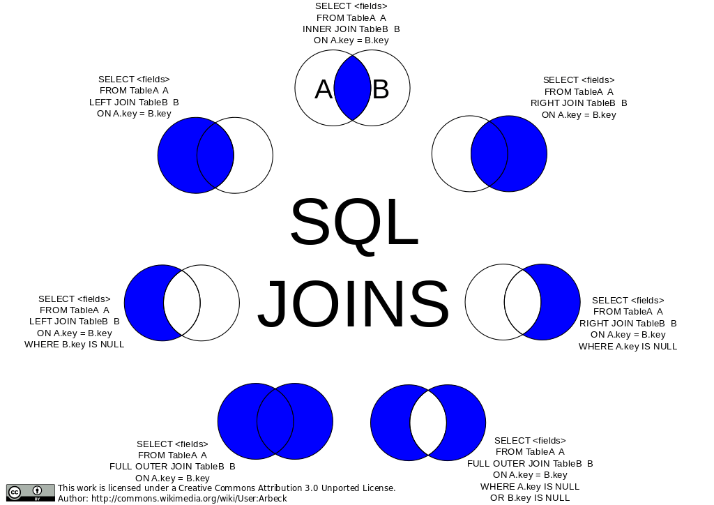
Table Join คือการรวมข้อมูลหลาย ๆ DataFrame เข้าด้วยกัน ด้วย Index ที่มีค่าตรงกัน ด้วย pd.DataFrame.join() คล้ายกับ SQL Join เรียกว่า Attribute join
เมื่อเราทำ Atrribute Join กับ GeoDataFrame เราควรใช้ gpd.GeoDataFrame.merge() ดังตัวอย่างด้านล่าง ที่จะรวม GeoDataFrame ชื่อ europe_boundaries ที่เก็บขอบเขตภูมิศาสตร์ของประเทศแถบยุโรป เข้ากับ europe_stats ที่เก็บข้อมูลสถิติ ด้วย Feature ชื่อ name (on="name")
เรามาเริ่มกันเลยดีกว่า
![]()
![]()